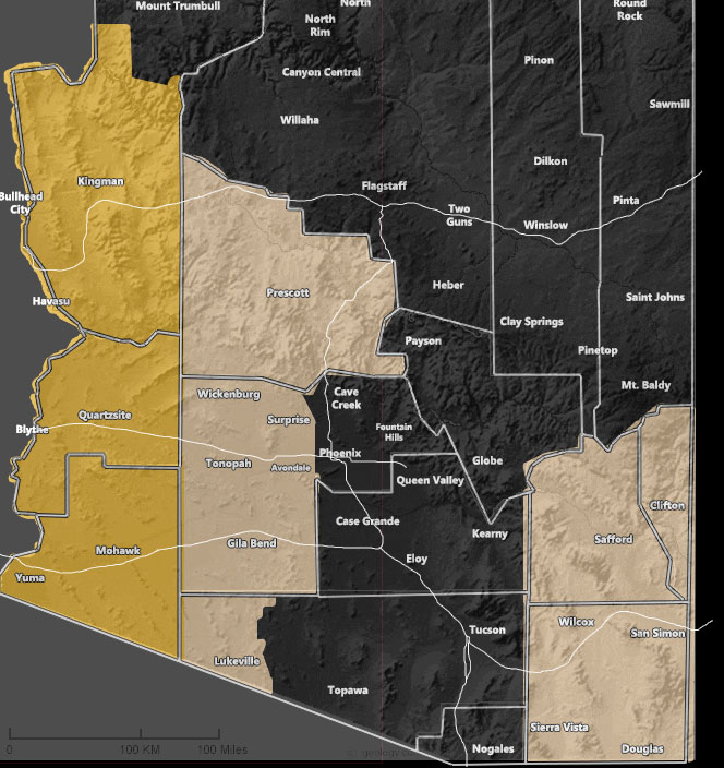
Issued Zones: Western half of Arizona … Southeast Arizona …
Site: Arizona Weather Force has issued a High Wind Warning and Wind Advisory combined, effective Sunday night overnight into mostly Monday …
Date: 10/23/20 at 11:50am PT
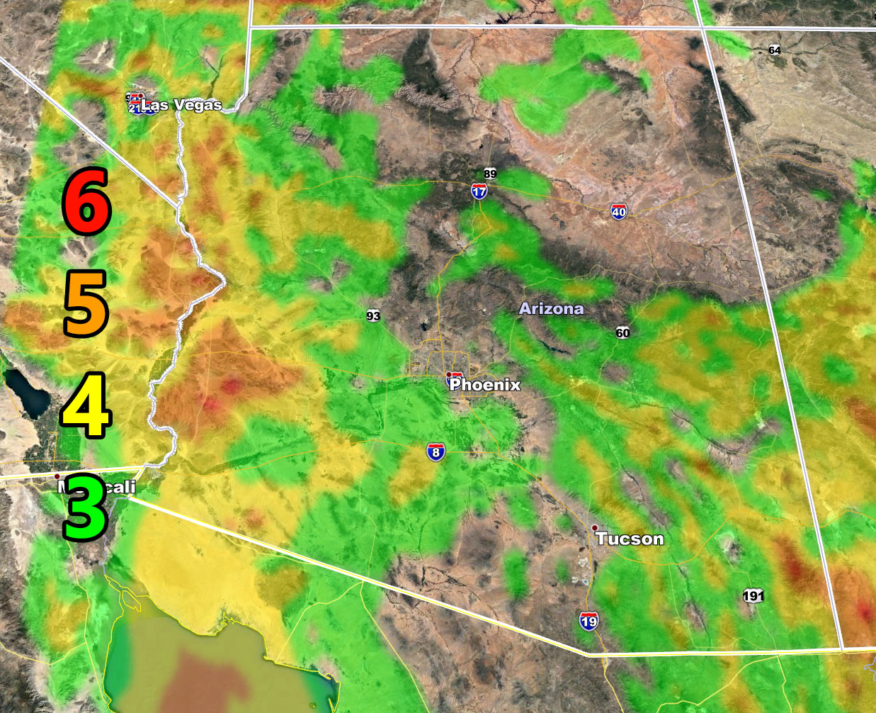
Forecast: An arctic system will drop into NV/UT on Sunday and generate a strong onshore flow… however by Sunday night and into Monday this will strengthen in the warning/advisory areas. Use the model below for your location and the intensity values below.
Martin Wind Gust Intensity Scale –
6. SOME Trees are broken or uprooted, building damage is possible. – High Profile Vehicle Roll-Over Likely, Do NOT recommend Traveling in this zone
5. Slight damage occurs to buildings, shingles are blown off of roofs. HIGH WIND WARNING CRITERIA – High Profile Vehicle Roll-Over Possible if weight is not corrected.
4. Twigs and small branches are broken from trees, walking is difficult.
3. Large trees sway, becoming difficult to walk. POWER SHUTDOWN THRESHOLD WIND ADVISORY CRITERIA
How to get these alerts with a premium subscription? (100 percent delivery time)
Click Here To Join The Special Through September 30th which takes you through monsoon season as well.
Join The Main Arizona Weather Force Facebook Page (50 percent delivery time)
Click Here To Join The Page Today!
10 mile rule: These alerts issued on this site
means that within your zone and 10 miles from you will see the event
forecast for. You may or may not see the event but it means you are in
the zone or 10 miles from where someone will.
Forecaster: KM