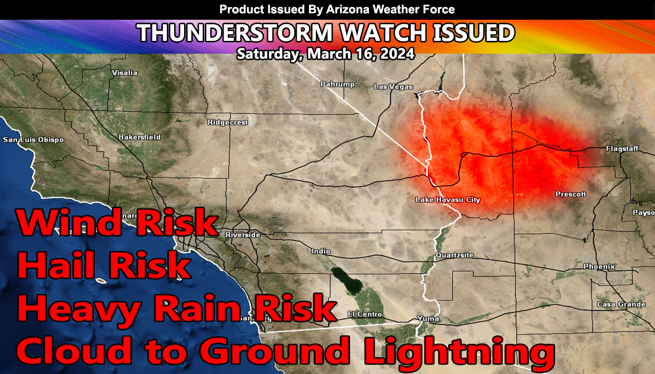
Arizona Weather Force has issued a Thunderstorm Watch effective for a small area of Northwestern Arizona, stretching from Kingman to Bullhead City.
A cutoff low that has shifted directly over the watch zone will have strong instability and upper lift for the risk of thunderstorm development today.
A Thunderstorm Watch means that thunderstorms are expected in or around the watch zone, which can have a hail, wind, funnel cloud/tornado, and heavy rain risk.
– Raiden Storm –
https://www.arizonaweatherforce.com
Master General Meteorologist – is the Owner and CEO of AZWF, a consulting meteorologist with over 26 years’ experience for over 50 companies, including energy, agriculture, aviation, marine, leisure, and many more areas. He has certs from Mississippi State for broadcast met and Penn State forecasting certs MET 101, 241, 341 and 361 as a meteorologist, but before then was completely self-taught, barely learning a thing from the schools that he did not already know.
NOTE: Alerts are posted on here, be it a tornado watch, etc, and these alerts are issued from this office and nowhere else. At times, which is often, you will see an alert forecast posted on here that you do not see elsewhere.

