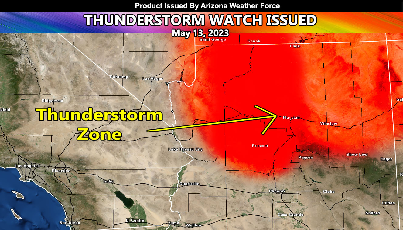
Arizona Weather Force has issued a Thunderstorm Watch in what will be the first in many days this week of thunderstorm activity that of which will be similar to the monsoon.
Thunderstorms today will move from south to north as an upper-level low retrogrades westward into Nevada, bringing in the mid/upper-level moisture. The southern extent of the thunderstorm activity will be the Prescott forecast area, where this zone will see storms with this pattern.
Large hail will not be a problem, however skew-t profiles suggest the strongest storms do have a strong to damaging wind potential. Due to this, the originally issued Fire Weather Watch here at Arizona Weather Force is also starting today.
Navigate here to read the initial forecast article for this event, issued back on May 9th.

