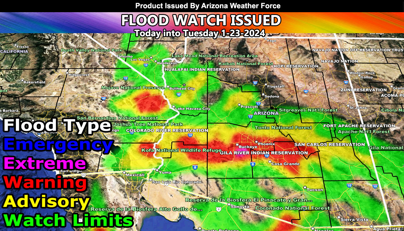
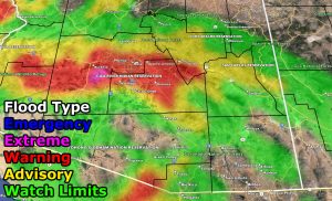
Arizona Weather Force has issued a Flood Watch effective today through some of Tuesday. The flood watch issued does come with the risk model so make sure you see that for your area. It paints a lot of Maricopa and Pinal County’s major populated zones in higher flood risks.
A storm system that is moving out of Southern California this evening will bring the increase in precipitation to the watch area. The heaviest rainfall will be this evening and through the overnight into Tuesday morning. Extremely strong upper-level lift and a strong jet stream will bring the dynamics needed for rapidly growing tops, giving way to major flood conditions.
The Arizona Weather Force Flood Risk Model shows a high (warning) risk centering along I-10 from La Paz, Maricopa, and Pinal County, where most of the population of Arizona lives. At the time of this watch, there are no flood watches issued elsewhere other than here at Arizona Weather Force, which is extremely suspect.
Those in the watch area could prepare for rainfall totals and amounts of what San Diego County received, which is the dynamic that will move over you during the watch period.
In addition to the flooding, thunderstorms will also be likely, with a strong concentration of them across the Tucson forecast area on Tuesday.
Stay tuned to official forecasts here at Arizona Weather Force for any updates if needed.
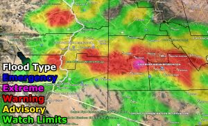
For the rest of the forecast, use the model images here –
FLOOD RISK
– Raiden Storm –
https://www.arizonaweatherforce.com
Master General Meteorologist – is the Owner and CEO of AZWF, a consulting meteorologist with over 26 years’ experience for over 50 companies, including energy, agriculture, aviation, marine, leisure, and many more areas. He has certs from Mississippi State for broadcast met and Penn State forecasting certs MET 101, 241, 341 and 361 as a meteorologist, but before then was completely self-taught, barely learning a thing from the schools that he did not already know.
NOTE: Alerts are posted on here, be it a tornado watch, etc, and these alerts are issued from this office and nowhere else. At times, which is often, you will see an alert forecast posted on here that you do not see elsewhere.

