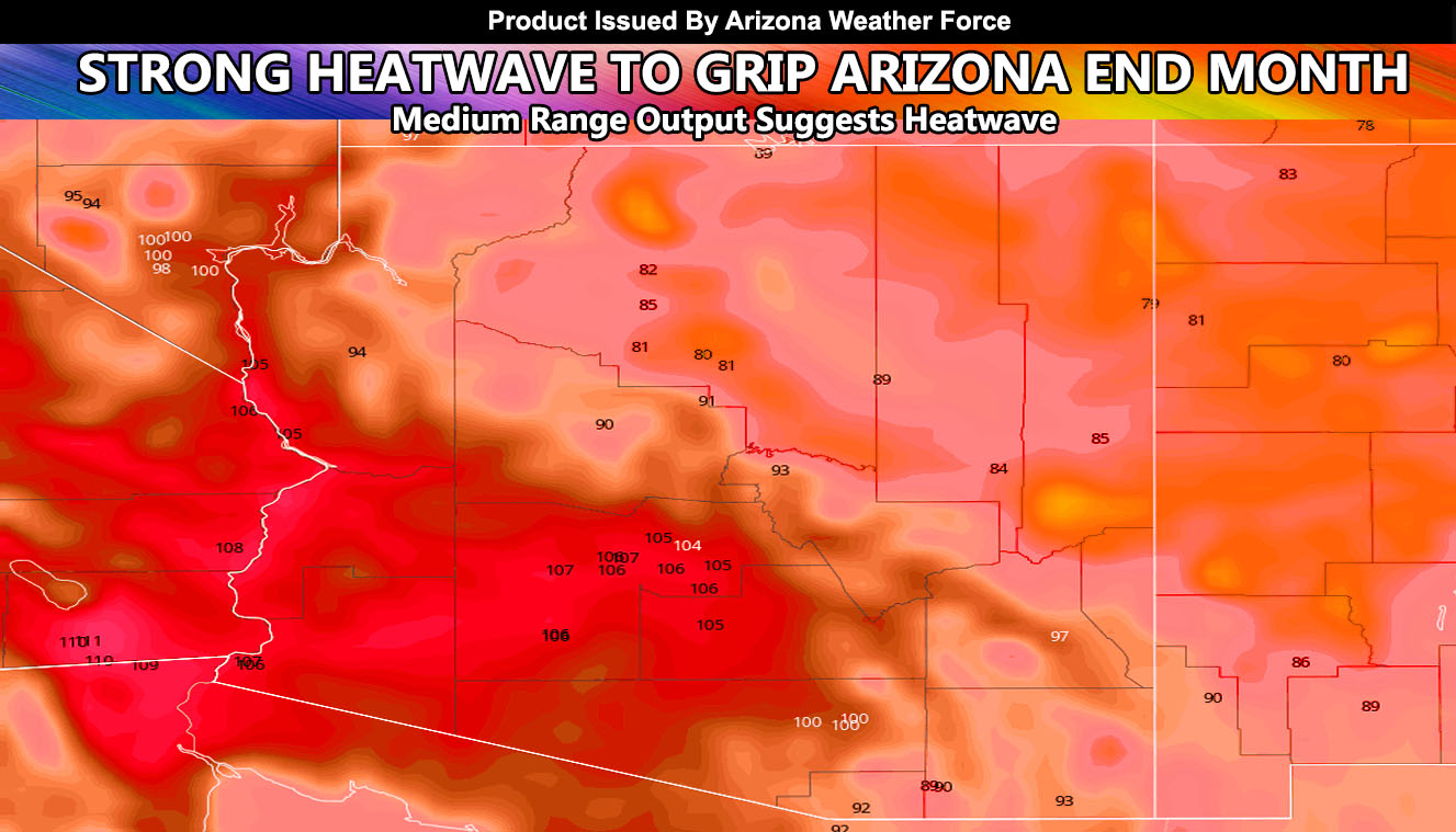
A strong ridge of high pressure will build over California as we near the end of September, owning to weak offshore flow that will bring another strong heatwave to Arizona. That Green Day guy that is suppose to wake up when September ends probably wants to remain sleeping till the heatwave is over … so read on for details
Not too uncommon this time of year in what is known as ‘Indian Summer’ a heatwave in September and October happens when ridges for to our north and generate an offshore flow pattern. While not a Santa Ana Wind Event in California, the heatwave will be generated by a strong upper ridge pattern that will bring drying to the region as well as high heat. This is certainly not good for any fires out there now, or any future fires as a result.
Temperatures inland will range from 105 to 112, the hottest in the Phoenix areas. Nothing else can be said right now other than warning you of it. There is no rain in the long range scope at the moment. There are teases showing up, but officially I am not going to announce anything until consistency in the numbers is there.
Stay tuned to official forecasts here at Arizona Weather Force
