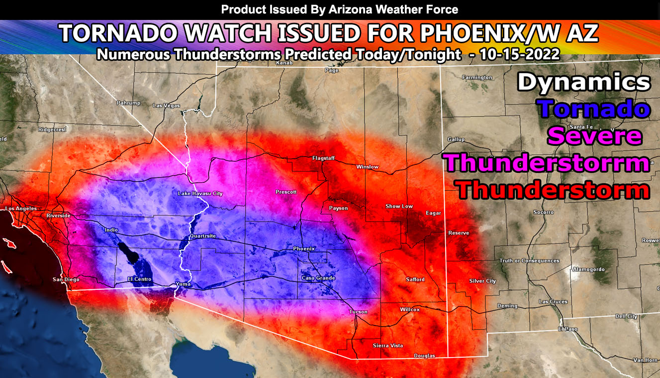
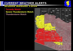
Arizona Weather Force has issued three alerts for today and tonight, which includes a Tornado Watch, Severe Thunderstorm Watch, and Thunderstorm Watch so read on for details on what will be an extremely active event across Arizona.
Join the Facebook Page for Further Updates If You Have Not Yet!
ARIZONA WEATHER FORCE MAIN:
An upper-level low that has been southwest of Southern California all week is finally kicking off to the east. This is bringing in strong upper-level lift on the north and east side of it across the state. As the day moves along, building high levels of instability coupled with shear will make it likely for severe thunderstorms to quickly form. Out of those thunderstorms, Western Arizona to Phoenix/Pinal metro zones will be under the gun for supercells, which will contain large hail, damaging winds, flooding, and also tornado dynamics.
This upper-level low is similar to the September 2019 system that produced supercells and even tornadoes across the state. This however looks stronger than that one so it is a rare event coming up. Any spotters out there are urged to report ground truth under the cells. Tornadoes in these areas sometimes can go without a report, but ground truth is what will be needed to get them documented today.
Cells will form across the entire state today and tonight, but as Sunday hits, the action remains in the north and east side of the state. Use the image below to see what zone and alert you are in for today/tonight on the focus spots.
WANT THESE DELIVERED VIA THE APP? JOIN THE PATREON COMMUNITY TODAY FOR ALL THOSE PERKS – https://www.patreon.com/weatherforce
TWITTER: Join the AZWF Twitter For Articles By Clicking Here


