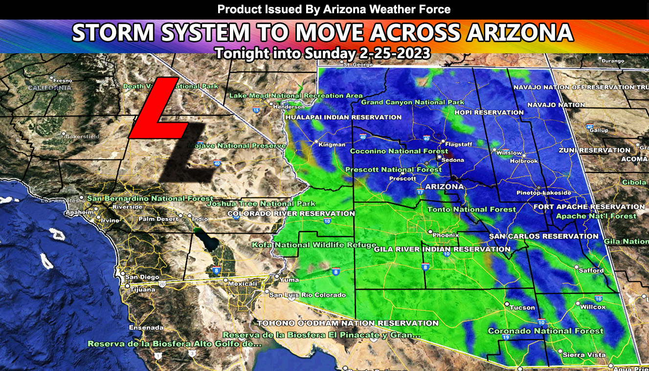
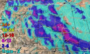
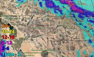
A storm system moving out of Southern California will move through Arizona overnight tonight and go through Sunday as well, bringing mountain snow and low terrain rainfall so for the rain and snow maps read on for details …
Join the Facebook Page for Further Updates If You Have Not Yet!
ARIZONA WEATHER FORCE MAIN:
There is not much to talk about other than to show you the maps so that is what I will do as this was taken care of in previous updates in this link – https://arizonaweatherforce.com/2023/02/19/powerful-150-mph-arctic-jet-stream-to-deliver-damaging-winds-this-week-for-arizona-along-with-heavy-snow-and-low-elevation-rainfall/
Use the AZWF model information below for the grid zones in your section of the state.
DO NOT FORGET TO LOOK AT THE VALID TIMING IT IS FOR
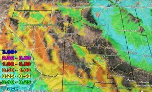
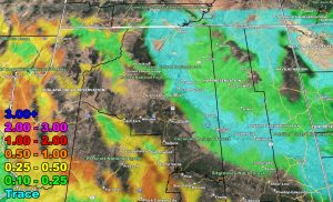
Rain Model – VALID TONIGHT THROUGH SUNDAY 2-26-2023
SUPPORTING MEMBERS: Click Here To See The GPS Version Of This Model In Your Member Section Tab.
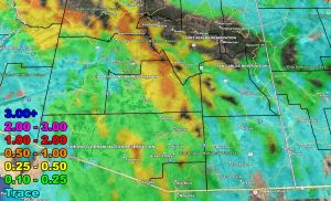
Snow Model – VALID TONIGHT THROUGH SUNDAY 2-26-2023
SUPPORTING MEMBERS: Click Here To See The GPS Version Of This Model In Your Member Section Tab.
WANT THESE DELIVERED VIA THE APP? JOIN THE PATREON COMMUNITY TODAY FOR ALL THOSE PERKS INCLUDING BEING ON THE MICRO-CLIMATE ALERT SYSTEM BECAUSE NOT EVERY ALERT IS POSTED ON SOCIAL MEDIA FROM THIS WEATHER OFFICE – https://www.patreon.com/weatherforce
TWITTER: Join the AZWF Twitter For Articles By Clicking Here
Join The Main Arizona Weather Force Facebook Group (50 percent delivery time of micro-climate alerts not posted on the main AZWF page) – You can join the main AZWF page as well through that group.
Click Here To Join The Page Today

