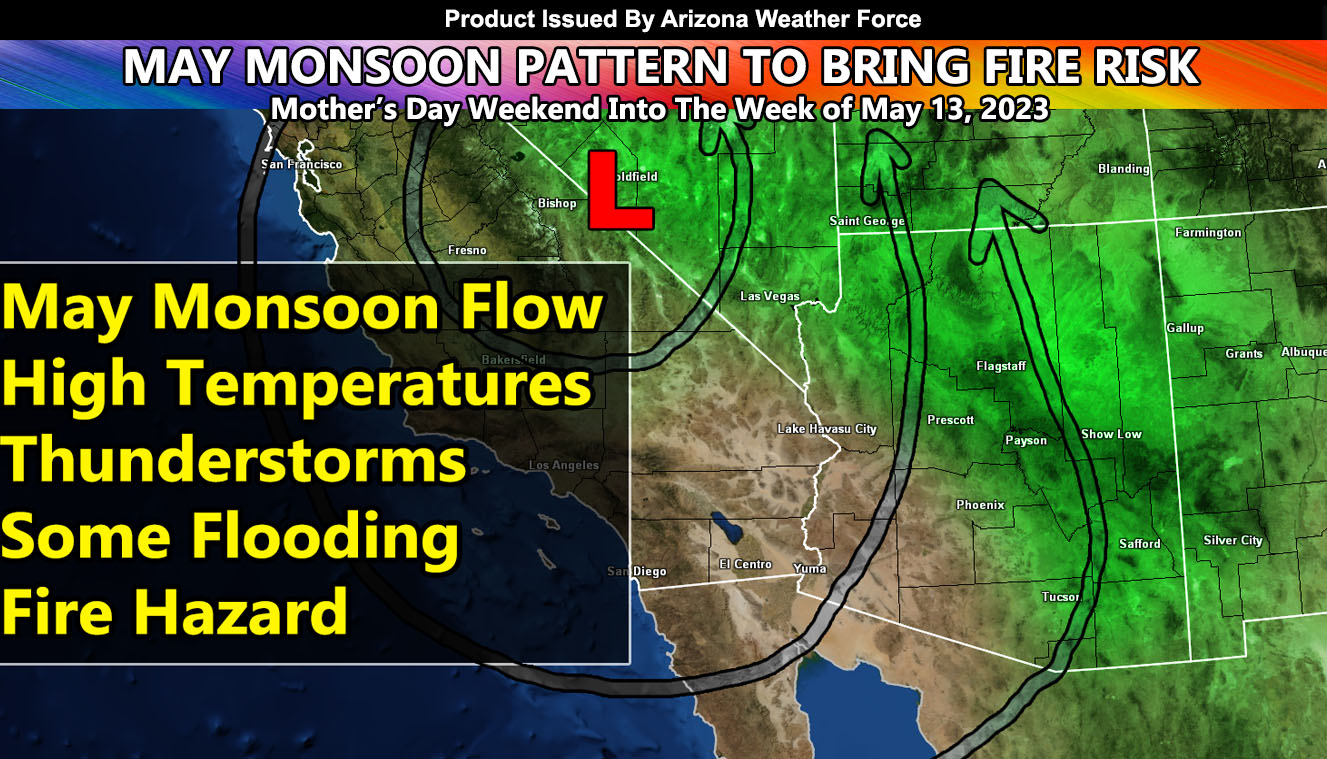
In a rare flow, a ridge of high pressure will move into the area where the nominal monsoon pattern usually has it. This ridge of high pressure will bring an upper-level low that will migrate westward across Nevada on Mother’s Day, and last into this next week, as what would normally be called monsoon moisture streams into the region along with an official Fire Weather Watch from this weather office for lightning so read on for details.
This system is going to be an interesting system with the fact it will give the state the first taste of the 2023 Arizona Monsoon. The monsoon officially begins by date on June 15th and ends on September 30th. However, at times, rarely, a system such as this will bring an early onset of it, teasing the area. Usually, these systems produce dry lightning. While that will be the case at times, with high fire hazards developing, storms will form along the Mogollon Rim and head into the low-lands at times.
These do not look like a big hazard for the metros, but we will see leakage into the metros off the mountains. Arizona Weather Force precipitation risk models (not pictured here) clearly shows the rim having a notable risk of precipitation. The worrying factor comes in when the notable accompanies the thunderstorms. When mid-level moisture is present with a lack of low-level moisture, we will be looking at dry thunderstorms, meaning less precipitation and more lightning. If you are in the risk areas, especially the Mogollon Rim locations, you are now under a Fire Weather Watch from this weather office.
Arizona Weather Force will continue to monitor the medium and long range for these hazards so continue to monitor future forecasts … Arizona Weather Force monsoon models will calibrate for the coming season with this very event, which means that the first influx of monsoonal storms after June 15th will be well predicted and taken care of for you as I will not need to calibrate it then.

