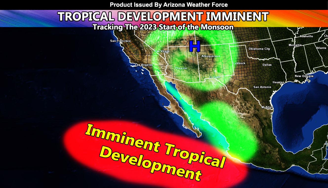
A ridge of high pressure will become stronger across Arizona after July 11th, which will bring temperatures up from where they are now, which should be the hottest period of this summer. Temperatures of 115+ will be possible in the lower terrain zones with even hotter temperatures along the Colorado River Valley. Anyone having activities at the river will have a good time.
The first hurricane is due to form within the next 7–10-day period in the Eastern Pacific Basin. As these tropical systems form, the strength expected will put a kink in the ridge of high pressure by the middle of this month. When this happens, we get easterly waves moving in and then the monsoon storms return to the state.
We will see the activity spike in Southeast Arizona after July 8th onward, and then as the hurricanes south of the region affect the ridge further, then we will have the rest of the state start the storm activity.
Regardless of the forecasts for drier than normal conditions, I am still going with a 2021 severity season in terms of storm strength. As stated before, I am not going with the precipitation amount of 2021, but average to somewhat above average rainfall activity is what I expect. We still have a lot of the summer left from now through September 30th for this monsoon season.
Temperatures should peak with this mid-month flare of the ridge. As the monsoon becomes established, higher dewpoints will prevent the 115+F degree temperatures. Everything is on track, with this heatwave marking the start of the monsoon ridge becoming established very soon.
Get these alerts over the new Android and Iphone app and/or e-mail service by becoming a full member subscriber today and never miss an update from this office. Remember, you cannot just make an account on the app and get notifications. You must select your zones and then go through the payment process.
Click here to learn more.

