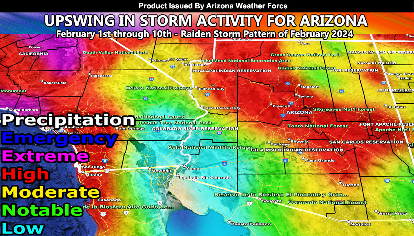
Days ago, I mentioned that the beginning of February would have a storm pattern. As such, this is a Raiden Storm Pattern and has a high probability of bringing multiple storms to Arizona, starting February 2nd and having one every few days after that until around the 10th.
The jet stream is going to dip into a position to bring both cold and warm storms into the region. We are still several days out from the first one, again around the 2nd, but from what the Arizona Weather Force precipitation risk model shows, we have more flooding on the horizon.
Another pattern will follow before we slow it down through March, the next pattern likely the third or last week of February.
Arizona Weather Force will handle all official forecast updates from here on out for this next storm pattern. As we near it, more information will be given, along with the zoom-in maps you enjoy so much.
A Raiden Storm Pattern means a pattern that was foreseen ahead of any source today, which; like a comet, bears the name of the one who discovered it.
Stay tuned to Arizona Weather Force for further updates …
– Raiden Storm –
https://www.arizonaweatherforce.com
Master General Meteorologist – is the Owner and CEO of AZWF, a consulting meteorologist with over 26 years’ experience for over 50 companies, including energy, agriculture, aviation, marine, leisure, and many more areas. He has certs from Mississippi State for broadcast met and Penn State forecasting certs MET 101, 241, 341 and 361 as a meteorologist, but before then was completely self-taught, barely learning a thing from the schools that he did not already know.
NOTE: Alerts are posted on here, be it a tornado watch, etc, and these alerts are issued from this office and nowhere else. At times, which is often, you will see an alert forecast posted on here that you do not see elsewhere.

