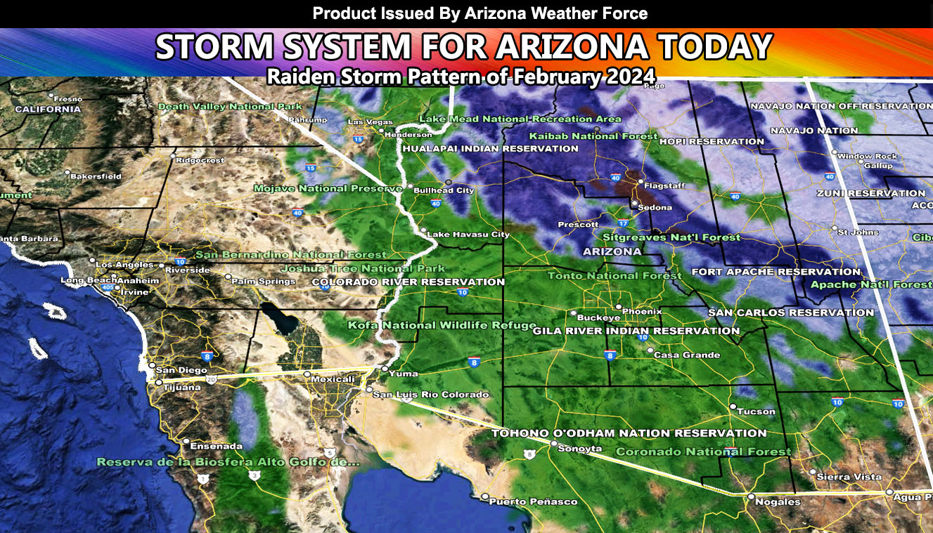
A storm system is set to hit today. As previously stated, these will deliver added rain and snowfall totals. Had some delay in the model outputs, but better late than never. I did mention storm chances would be from Thursday into Saturday on the previous update though.
There is a chance of thunderstorms with the passage of the front today, especially along the rim, which would mean thundersnow.
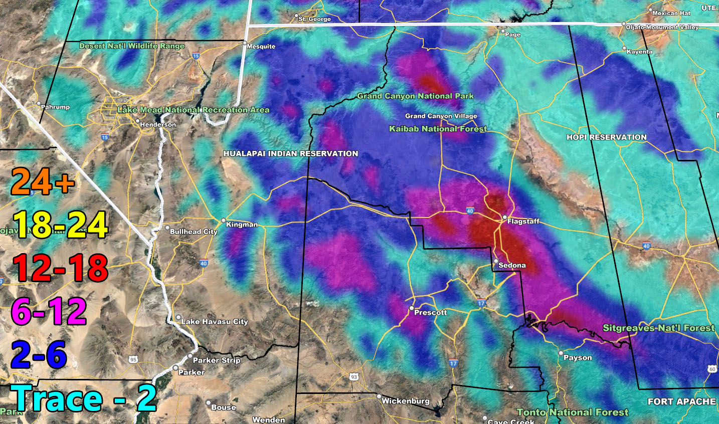
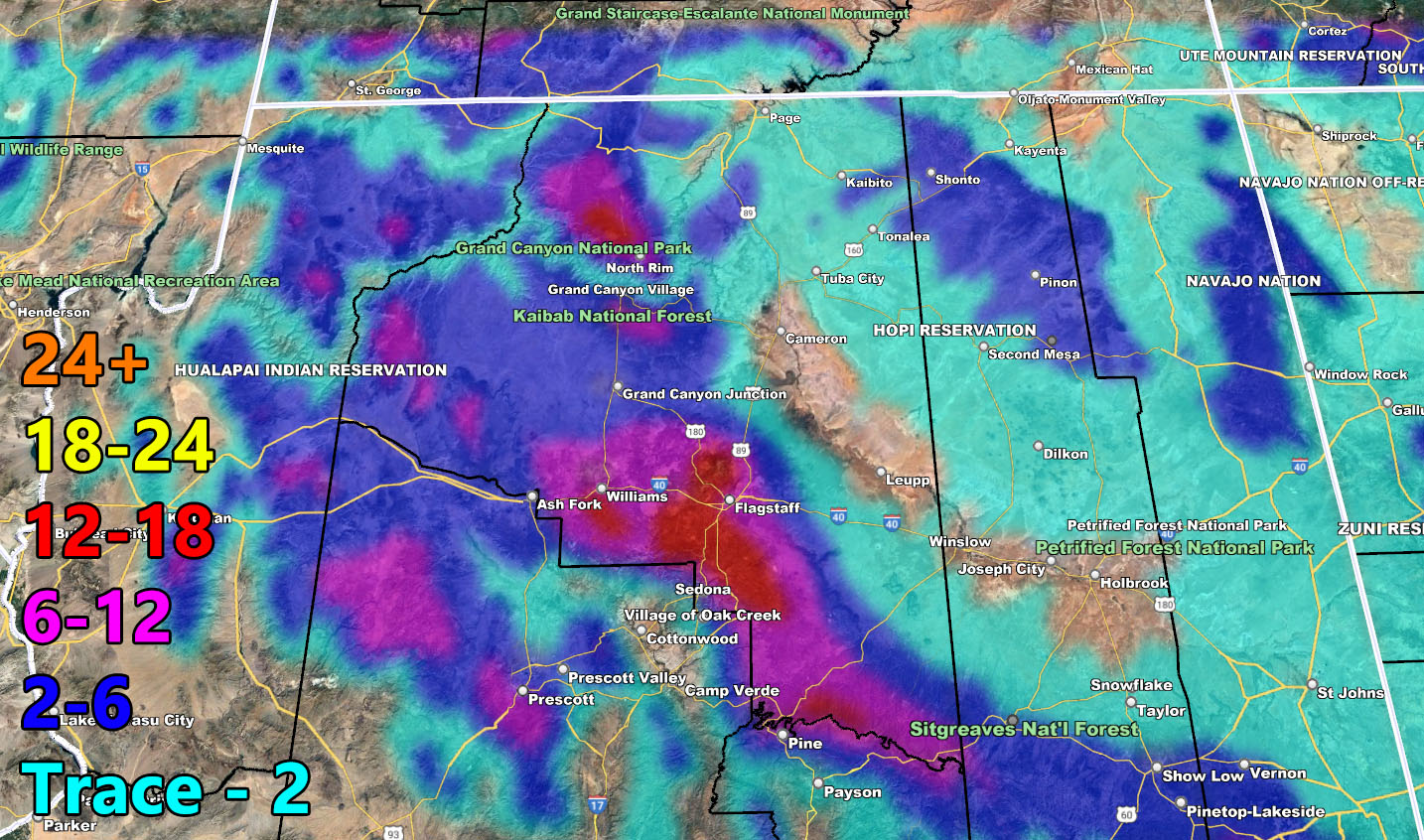
The Mogollon Rim will have snowfall, especially Flagstaff, where I expect nearly a foot of snow to fall.
A fourth system is set to hit behind this one on Saturday as we end the current Raiden Storm Pattern. There is another chance of another pattern of storms returning after the 20th.
A Raiden Storm Pattern means a pattern that was foreseen ahead of any source, which; like a comet, bears the name of the one who discovered it.
Stay tuned to Arizona Weather Force for further updates …
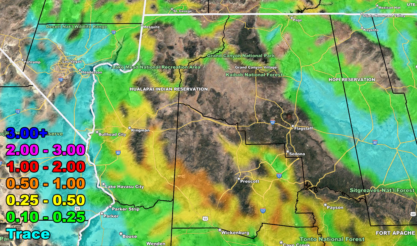
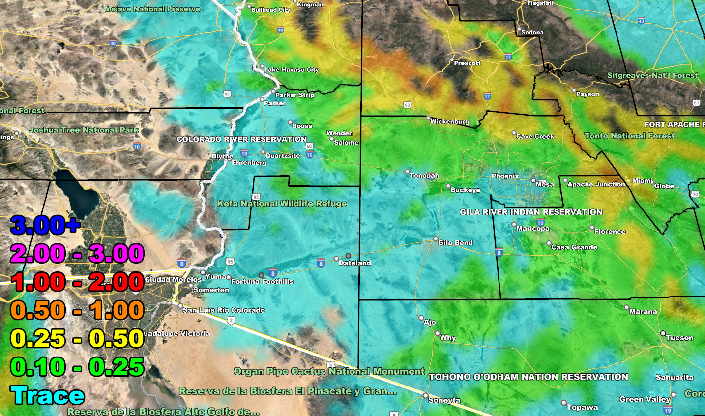
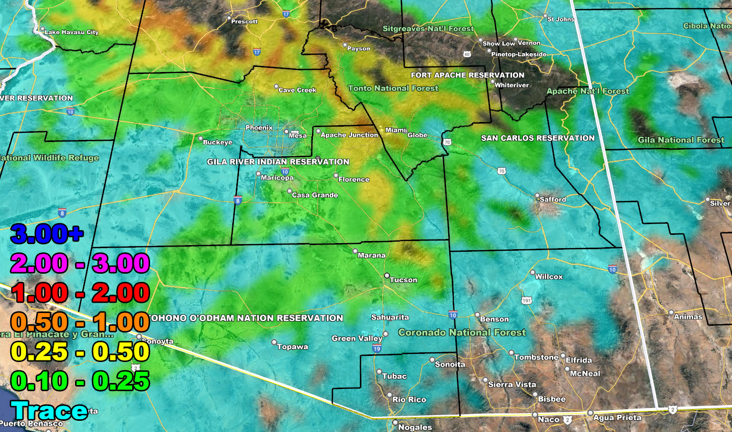
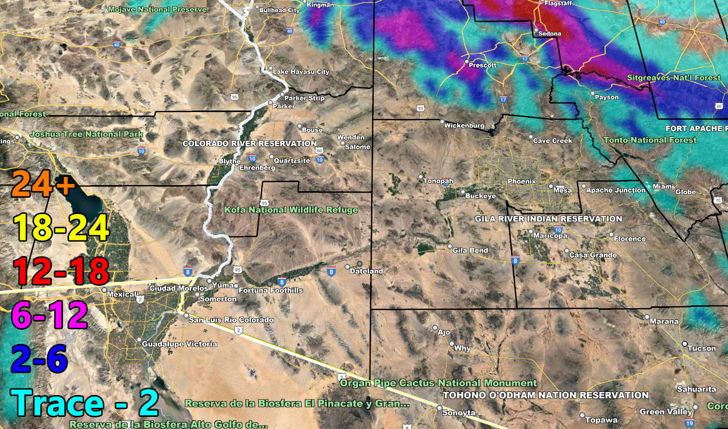
Use the maps below for rain and snow maps for this final forecast.
RAIN
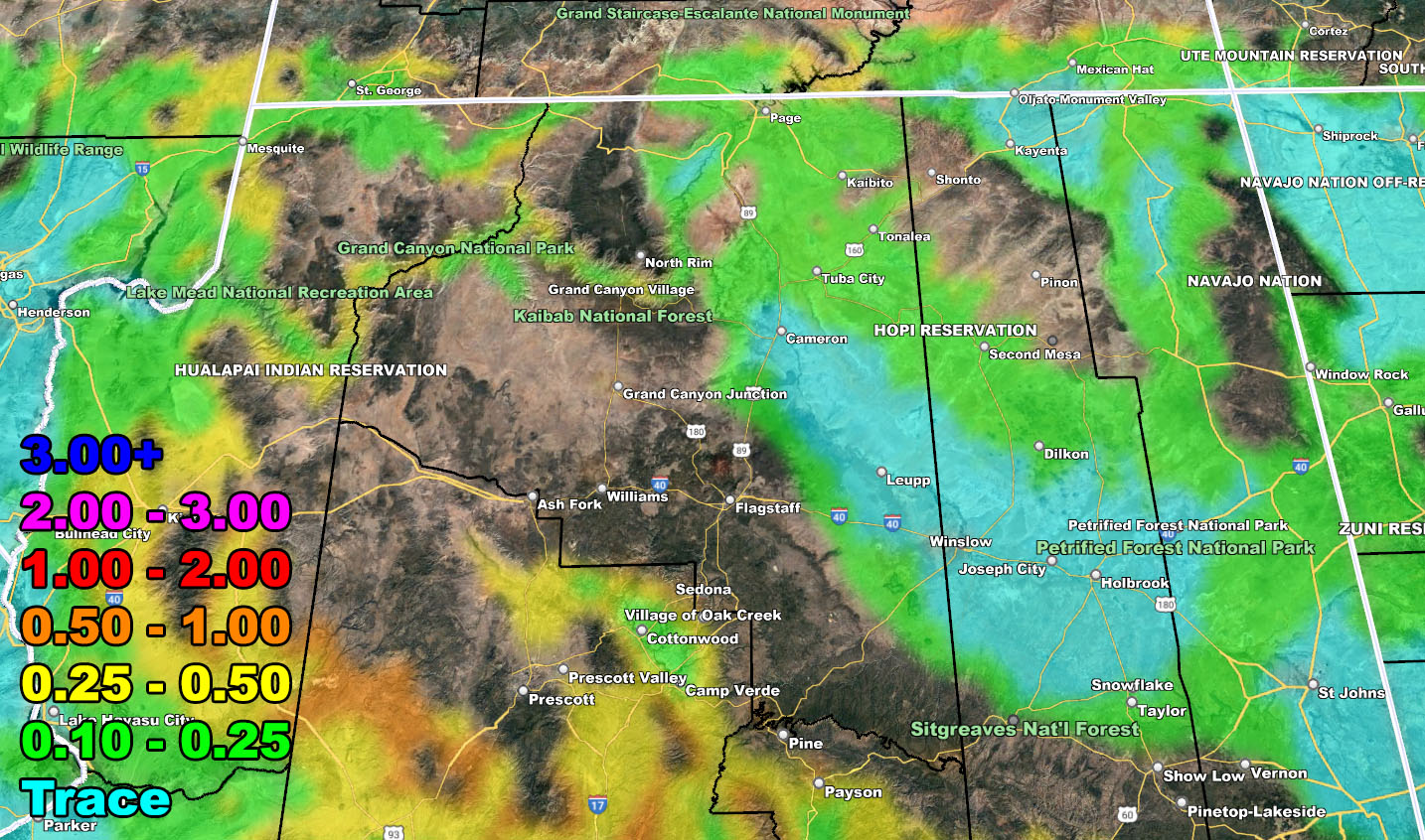
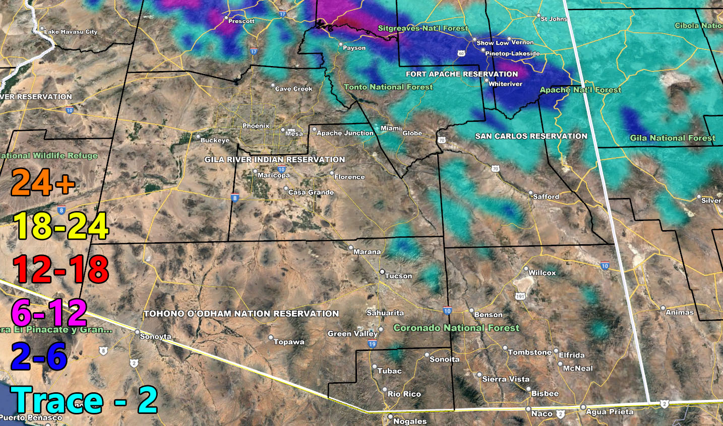
SNOW
– Raiden Storm –
https://www.arizonaweatherforce.com
Master General Meteorologist – is the Owner and CEO of AZWF, a consulting meteorologist with over 26 years’ experience for over 50 companies, including energy, agriculture, aviation, marine, leisure, and many more areas. He has certs from Mississippi State for broadcast met and Penn State forecasting certs MET 101, 241, 341 and 361 as a meteorologist, but before then was completely self-taught, barely learning a thing from the schools that he did not already know.
NOTE: Alerts are posted on here, be it a tornado watch, etc, and these alerts are issued from this office and nowhere else. At times, which is often, you will see an alert forecast posted on here that you do not see elsewhere.