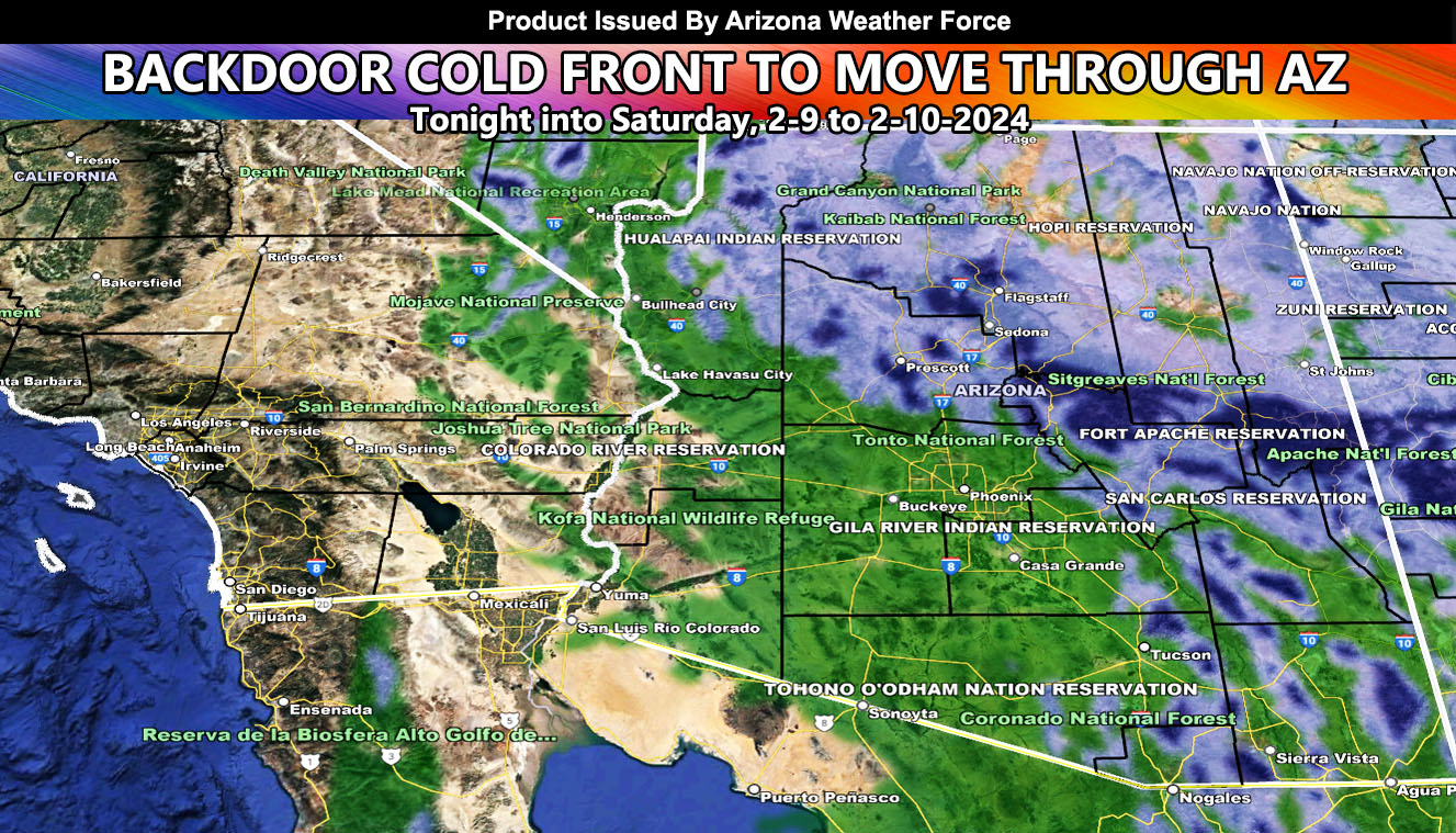
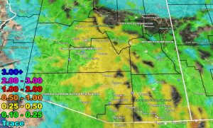
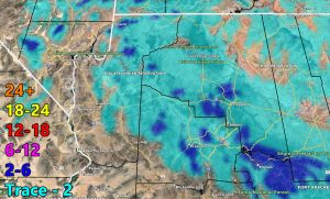
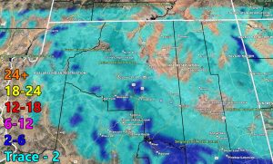
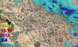
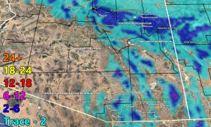
A cold front that comes out of the north quickly is called a backdoor cold front. This front will move across Arizona tonight and into Saturday, bringing another round of snow, rain, and thunderstorms to the forecast area.
This front is not expected to be particularly strong across the northern half of Arizona early on, but as it reaches some instability for Maricopa, Pinal, Pima, Graham and Cochise County, we can expect strong growth, owning to higher precipitation totals.
As this moves southward on Saturday morning, we can see the chance of thunderstorms increase for the eastern half of Maricopa County, southward through Pinal County to Tucson and Cochise as well with the backside of the upper-level low working in.
Storms Saturday afternoon and evening will move from north to south, and the target location is off the Southeast Yavapai County and Northeast Maricopa County border, spreading south through Cave Creek, Rio Verde, Fountain Hills, Phoenix, Scottsdale, Mesa, Apache Junction, and the San Tan locations.
LONG RANGE: Yet another Raiden Storm Pattern will develop for the state by around the 19th or 20th, which introduces more precipitation. This is still being monitored on how it will affect Arizona with storms coming out of California.
A Raiden Storm Pattern means a pattern that was foreseen ahead of any source, which; like a comet, bears the name of the scientist who saw it.
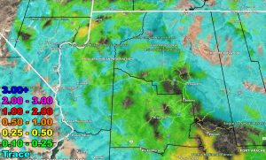
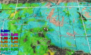
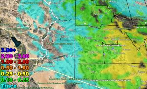
Please use the rain and snow maps here for the zoom-in projections for this event for your area –
RAIN
SNOW
– Raiden Storm –
https://www.arizonaweatherforce.com
Master General Meteorologist – is the Owner and CEO of AZWF, a consulting meteorologist with over 26 years’ experience for over 50 companies, including energy, agriculture, aviation, marine, leisure, and many more areas. He has certs from Mississippi State for broadcast met and Penn State forecasting certs MET 101, 241, 341 and 361 as a meteorologist, but before then was completely self-taught, barely learning a thing from the schools that he did not already know.
NOTE: Alerts are posted on here, be it a tornado watch, etc, and these alerts are issued from this office and nowhere else. At times, which is often, you will see an alert forecast posted on here that you do not see elsewhere.

