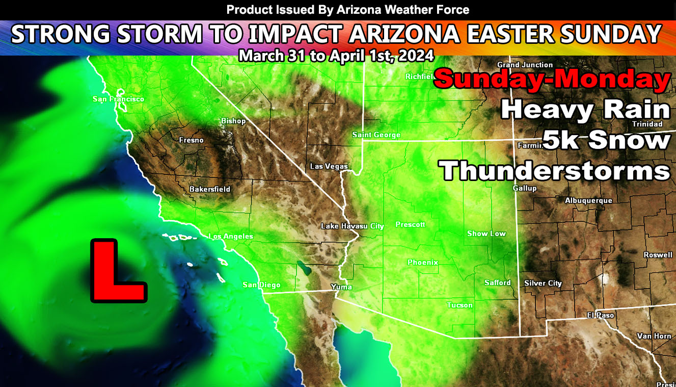
Arizona Weather Force has issued a Special Weather Statement effective Easter Sunday into the Monday after as a storm system is going to impact the state.
A storm system way out in the Pacific will slam California on Saturday into Sunday. As it exits California, the first area to receive the front will be the Colorado River Valley zones and nearby zones in Western Arizona overnight on Saturday. This front will be the strongest for Kingman’s forecast area then.
As Sunday moves along, the front will zip on through the rest of Arizona. A break in-between is expected later Sunday, but a secondary round out of Southern California will move through most of the day on Monday.
My preliminary projection for this will give Maricopa County’s populated zones 1-2″ of rain, same with the San Tan forecast zones, with Tucson coming in at around an inch. These will be refined as we near the event.
Snow: This looks like it may be cold enough to bring the heaviest snow amounts on the Mogollon Rim and higher terrain, with a snow-level of around or just below 5,000 FT.
Stay tuned to Arizona Weather Force for any current or future event updates …
– Raiden Storm –
https://www.arizonaweatherforce.com
Master General Meteorologist – is the Owner and CEO of AZWF, a consulting meteorologist with over 26 years’ experience for over 50 companies, including energy, agriculture, aviation, marine, leisure, and many more areas. He has certs from Mississippi State for broadcast met and Penn State forecasting certs MET 101, 241, 341 and 361 as a meteorologist, but before then was completely self-taught, barely learning a thing from the schools that he did not already know.
NOTE: Alerts are posted on here, be it a tornado watch, etc, and these alerts are issued from this office and nowhere else. At times, which is often, you will see an alert forecast posted on here that you do not see elsewhere.

