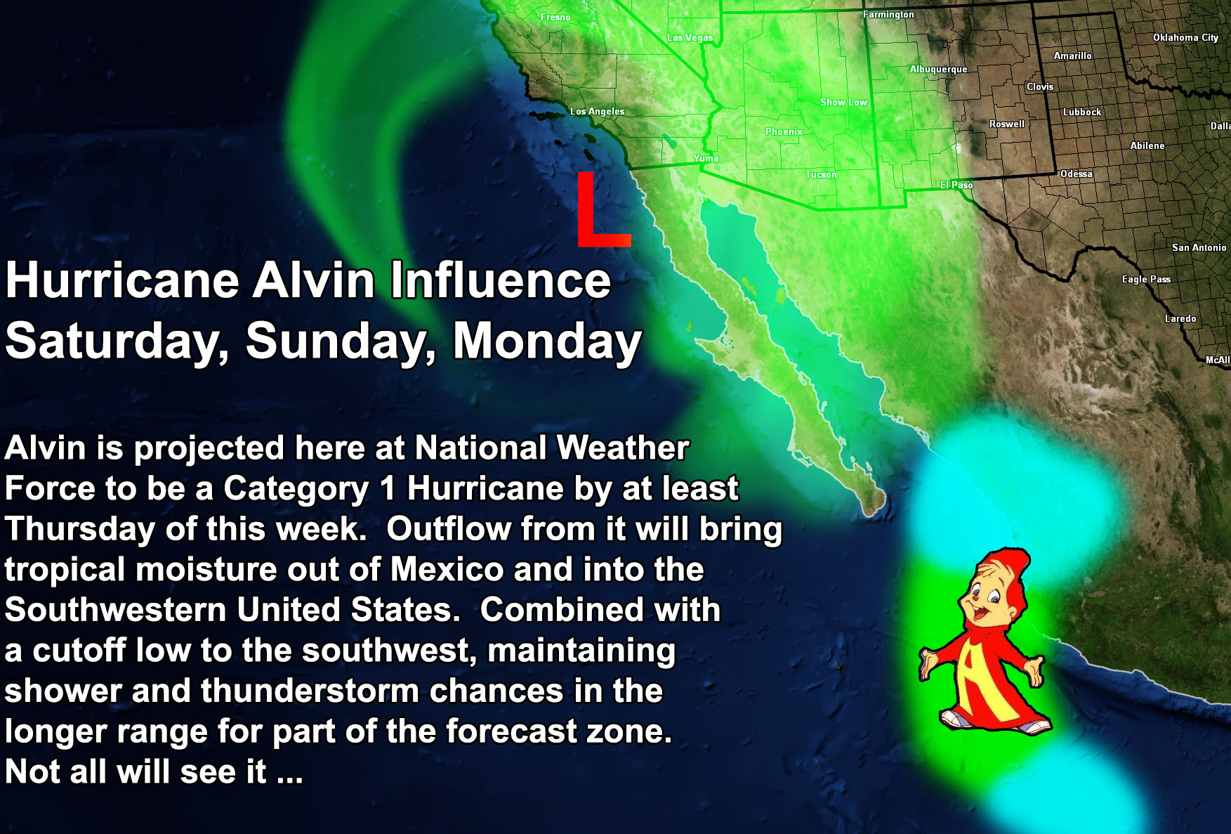
Arizona Weather Force has been monitoring a cutoff low from Hawaii since last week. This system will work with a developing tropical system west of Mexico. Projections here at this weather service shows that the storm will become a Tropical Storm by Wednesday, and a Hurricane (Alvin) by Thursday, before hitting north of Puerto Vallarta, Mexico on Friday night.
This development will bring outflow into the Northwestern Mainland Mexico Mountains, popping off thunderstorms toward the end of the week. As the cutoff low gets into position offshore the Southwestern United States, it will pull the tropical moisture northward, impacting over the weekend, possibly lasting into Monday for some.
NOTE: One thing to note is that although this will bring shower and thunderstorm activity to the Southwest United States, at the time, neither of you reading this are guaranteed to be hit. This will wait until the end of the week, when a better handle on the tropical moisture plume helps refine the forecast.
Commanding Initial Article – https://www.southerncaliforniaweatherforce.com/2025/05/25/erratic-cutoff-low-from-hawaii-to-move-through-the-southwestern-united-states-weekend-of-may-31st-2025/
Till then, Stay tuned for updates …
Raiden Storm Master General Meteorologist