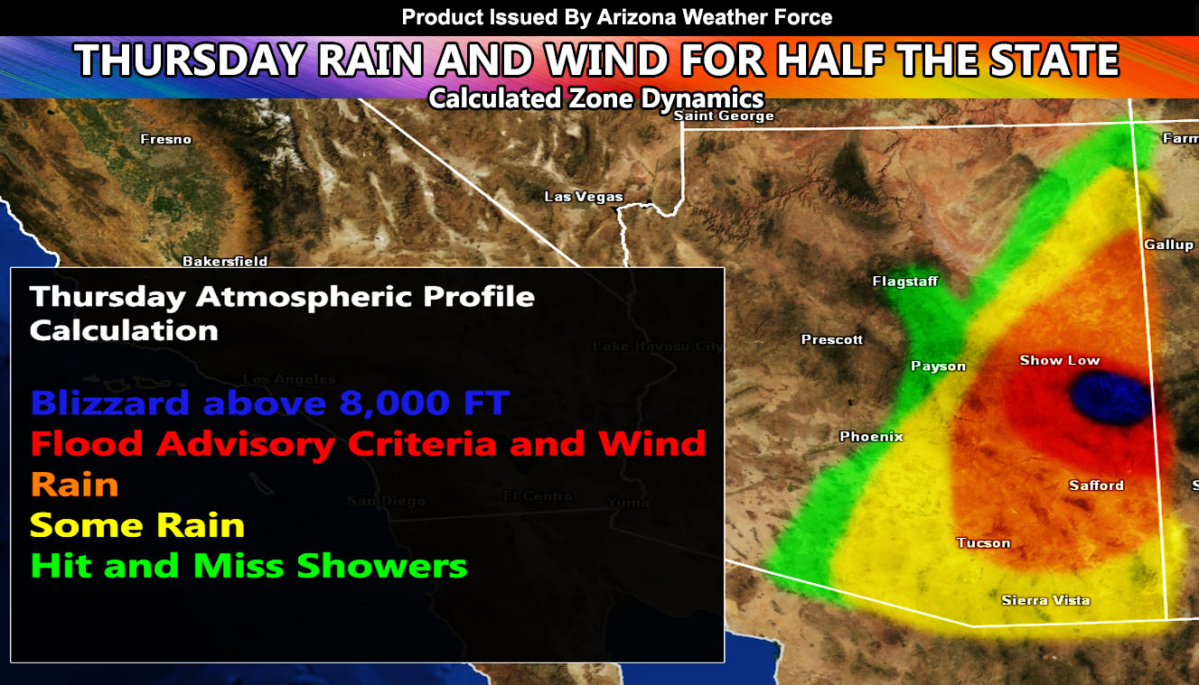
A weather system moving into Southern California will bring a tropical fetch of moisture through the Eastern half of Arizona, largely missing Phoenix while Tucson gets some rainfall. An AZWF Blizzard Warning has been issued for Mount Baldy’s Sunrise Park Resort for Thursday and the Rim will be whipping with gusty winds so read on for details.
As you know, just as Southern California Weather Force has a service for members with micro-climate alerts, Arizona Weather Force does as well and we do have around 25 people already signed up getting those so it is seeming like it is helping. The service helps businesses and persons, especially with ranches. Click Here to read about it and even join.
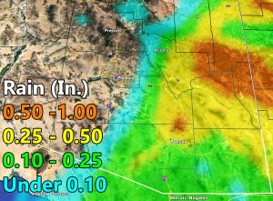
As for the rain, I’ll get that out of the way first. A tropical fetch from a system entering Southern California on Thursday will bring a southerly flow into Arizona with high elevation snow. Below that however as far west as maybe a trace across the Eastern Phoenix areas like Mesa, it will be all rain. Rainfall will be most prominent well east of Phoenix in the Tucson and Globe areas, with some flood advisory criteria in Graham and Greenlee County areas. The rain starts on Thursday morning and is out of here overnight Thursday … Use the rainfall forecast model here at AZWF below for your area.
This morning, three alerts went out over the AZWF micro-climate alert system. The first one was the Blizzard Warning for the Mount Baldy areas, including Sunrise Park Resort. It reads; A weather system will come into Arizona on your Thursday, bringing light snowfall at first to the region. Wind gusts will up and snow will as well throughout the day where the Martin Wind Gust Intensity Model is pegging a value 5 or 6 at the resort along with heavy snowfall. The snow model indicates on the slopes it will be 6-12″ with 2-6″ at the Sunrise Park Lodge, but close to that 6″ margin. As a result of the high winds and snowfall, a Blizzard Warning will suit you on your Thursday with snowfall ending overnight into Friday morning. Use the models below for your snow/wind forecast.


Martin Wind Gust Intensity Scale –
8. Extensive widespread damage.
7. Trees are broken or uprooted, building damage is considerable. – High Profile Vehicle Roll-Over CERTAIN.
6. SOME Trees are broken or uprooted, building damage is possible. – High Profile Vehicle Roll-Over Likely, Do NOT recommend Traveling in this zone
5. Slight damage occurs to buildings, shingles are blown off of roofs. HIGH WIND WARNING CRITERIA – High Profile Vehicle Roll-Over Possible if weight is not corrected.
4. Twigs and small branches are broken from trees, walking is difficult.
3. Large trees sway, becoming difficult to walk. POWER SHUTDOWN THRESHOLD WIND ADVISORY CRITERIA
2. Large tree branches move, telephone wires begin to “whistle”, umbrellas are difficult to keep under control.
1. Small trees sway.
The next was the High Wind Warning for the Mountain Rim and it reads; A weather system will come into Arizona on your Thursday, This is not so much a snow producer given the dry air in place, other than the Blizzard Warning I have issued for the Mt. Baldy area (Sunrise Park) where they are well over 8,000 FT and enough for heavy snowfall to fall. The Rim however will get some 40-50 mph wind gusts in a mountain wave event starting midnight tonight and lasting till Thursday mid-afternoon where the wind speeds will noticeably drop. Use the model below for your location and the intensity values below.
Then of course for areas north and east of the Mountain Rim Zone the standard wind advisory and it read; A weather system will come into Arizona on your Thursday, This is not so much a snow producer given the dry air in place, other than the Blizzard Warning I have issued for the Mt. Baldy area (Sunrise Park) where they are well over 8,000 FT and enough for heavy snowfall to fall. The Rim however will get some 30-45 mph wind gusts starting midnight tonight and lasting till Thursday mid-afternoon where the wind speeds will noticeably drop. Use the model below for your location and the intensity values below.
NOTE: This is the SCWF Website but it is being used for national updates until ad placement is ready on the AZWF site.
Your Facebook Page to join for this update is linked here – https://www.facebook.com/ArizonaWeatherForce


