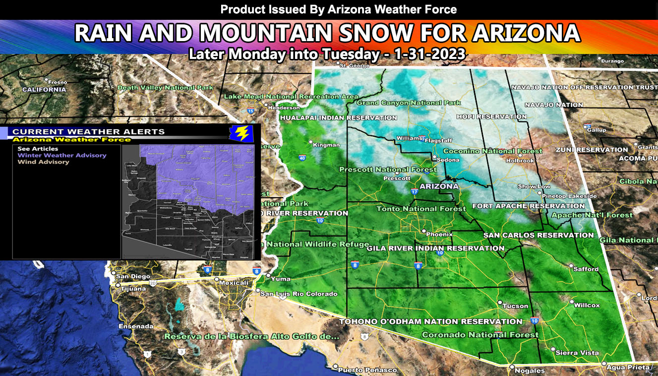
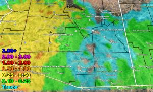
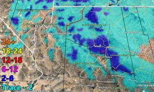
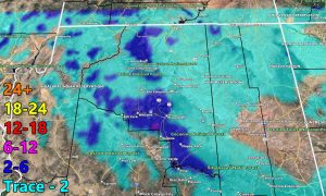
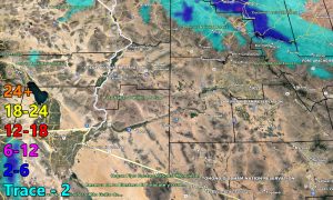
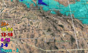
A storm system that will impact California later today and mostly Monday will affect Arizona later in the period, Monday, and go through Tuesday, bringing a round of rain and mountain snow. Although not as cold of a system as the last one, the winner this time in terms of the most rain will be the Yuma (Southwest Arizona) forecast areas, a rarity for this time of year so keep reading on for the AZWF rain and snow models.
I am getting a lot of notices that these updates are not showing up a lot on Facebook when I add it as a link so I will be posting them as images with a link embedded in the descriptions until this issue is fixed.
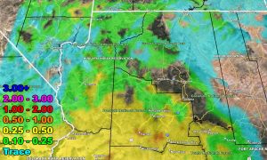
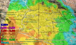
Rain Model – VALID MONDAY INTO TUESDAY
SUPPORTING MEMBERS: Click Here To See The GPS Version Of This Model In Your Member Section Tab.
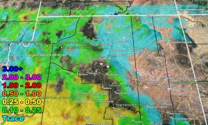
Snow Model – VALID MONDAY INTO TUESDAY
SUPPORTING MEMBERS: Click Here To See The GPS Version Of This Model In Your Member Section Tab.
WANT THESE DELIVERED WITH ALL THOSE PERKS INCLUDING BEING ON THE MICRO-CLIMATE ALERT SYSTEM AND MODELS DURING EVENTS BECAUSE NOT EVERY ALERT IS POSTED ON SOCIAL MEDIA FROM THIS WEATHER OFFICE – JOIN TODAY BY CLICKING HERE – Arizona Weather Force Fundraiser and Subscriber System – Arizona Weather Force
Join the Facebook Page for Further Updates If You Have Not Yet!
ARIZONA WEATHER FORCE MAIN:
TWITTER: Join the AZWF Twitter For Articles By Clicking Here
Join The Main Arizona Weather Force Facebook Group (50 percent delivery time of micro-climate alerts not posted on the main AZWF page) – You can join the main AZWF page as well through that group.
Click Here To Join The Page Today

