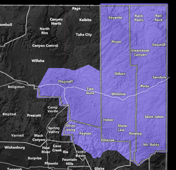
Issued Zones: Northeast Arizona and along the Mogollon Rim …
Site: Arizona Weather Force has issued a Winter Weather Advisory effective now for Wednesday …
Date: 2/1/22 at 8:10am local
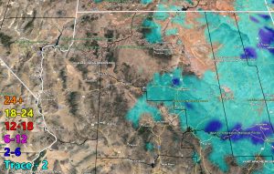
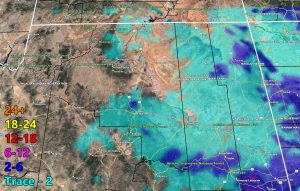
Forecast: An arctic front will dip down into the area, mostly on your Wednesday. This will bring a round of snowfall to Northeast Arizona and along the Mogollon Rim. The AZWF model shows 2-6″ in a number of spots, but realistically those ‘dark blue’ areas are more like 2-4″ –
The highest will be the resort of at Mt. Baldy … as usually always with any of these systems … The event will be over by Thursday, the winner with the most snow will be the resort at Mt. Baldy, the city along the rim though with 2-4″ will be the Clay Springs area …
GPS MODELS ENABLED FOR MEMBERS: CLICK HERE FOR THE MEMBER SECTION
How to get these alerts with a premium subscription via e-mail by micro-climate zone AND/OR Get the GPS models for this event on your device enabled? (100 percent delivery time)
Click Here To Join The Season Tier
Join The Main Arizona Weather Force Facebook Group (50 percent delivery time) – You can join the main AZWF page as well through that group.
Click Here To Join The Page Today
VALID WEDNESDAY FEBRUARY 2, 2022
10 mile rule: These alerts issued on this site
means that within your zone and 10 miles from you will see the event
forecast for. You may or may not see the event but it means you are in
the zone or 10 miles from where someone will.
Forecaster: Raiden Storm
MODE


